
UrbanVision
UrbanVision: Multimodal AI Computer Vision & Cooperative Intelligent Transport (C-ITS) Platform for Smart Cities
Executive Overview
UrbanVision is a multimodal computer vision and cooperative intelligent transport system (C-ITS) platform that automates urban safety, traffic flow optimisation and real-time infrastructure intelligence. It connects optical sensors to neural analytics to reduce congestion, speed up public transit and secure infrastructure across smart cities and industrial facilities. Signals adapt to live vehicle queues, connected vehicles exchange data with the road, objects and anomalies are tracked even in noisy scenes, and every video stream is cryptographically verified so it can serve as legal evidence. Validated with a verified 25% decrease in intersection collision rates.
Neural & Technological Stack
Adaptive traffic and Smart Crossroad: dynamic signal phase regulation from real-time vehicle queues, automated emergency-vehicle and transit priority, traffic management centre (CODD) dispatch integration
Cooperative ITS (C-ITS / V2X): V2V and V2I data exchange over Wi-Fi and LPWAN, feeding onboard ADAS
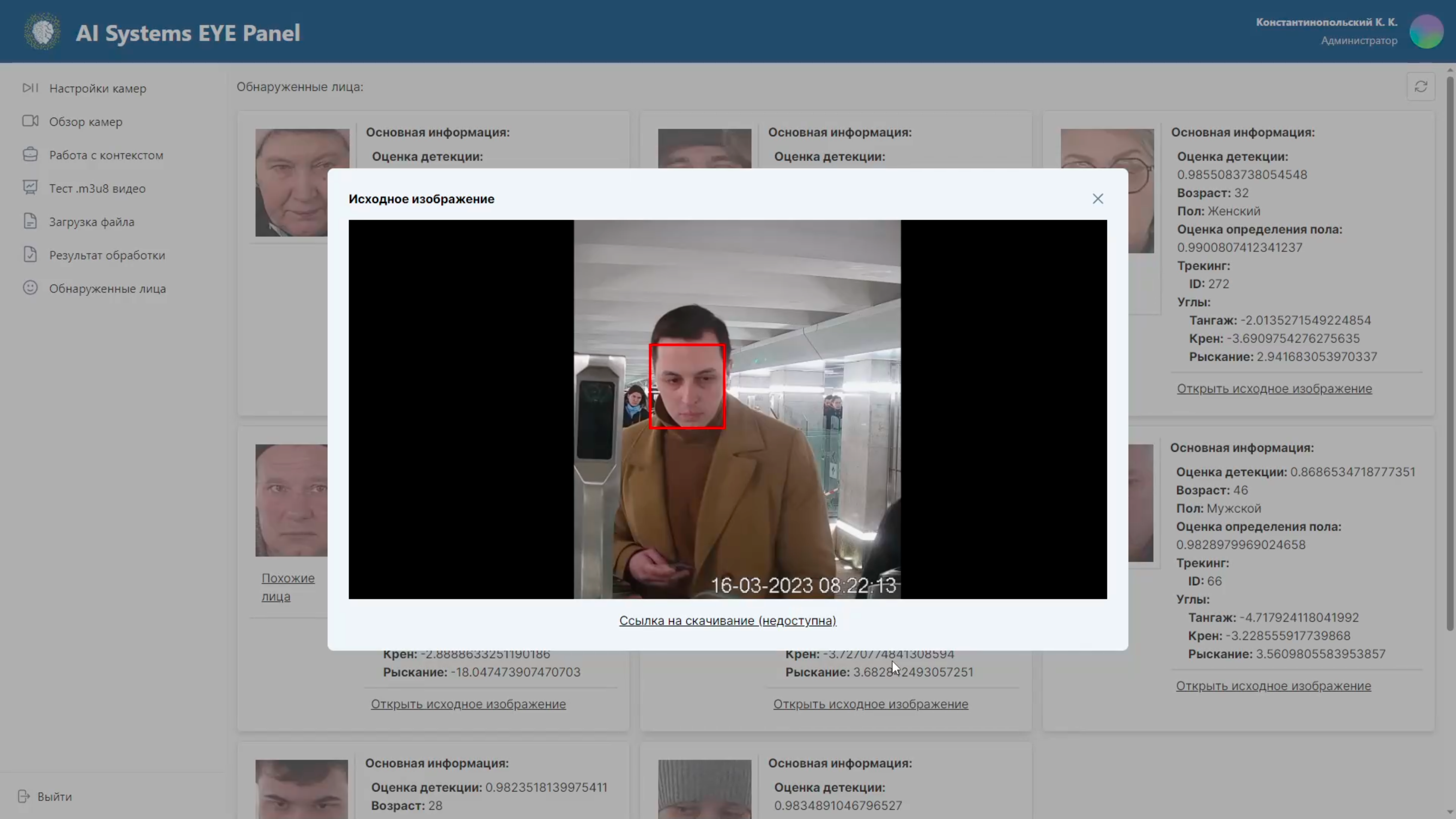
Facial recognition and anti-spoofing: face detection under 6 ms per frame, feature extraction under 80 ms, vector matching under 0.005 ms, with defence against paper photos, screens, masks and DeepFakes
Anomaly and object tracking: low-contrast target identification in noise using sequential hypothesis testing (CUSUM, Shiryaev-Roberts); position error below 0.05 px
Autonomous vehicle vision: real-time pothole, lane, sign and pedestrian detection; depth mapping from optical and thermal stereo pairs
Tamper-proof video (PAK SRSO): neurocryptographic signing, RTSP transport and a blockchain integrity log
Modular smart traffic light: Slide Frame rails, plug-and-play sensor hot-swapping, LED dynamic displays and a laser projection module for bad weather
Integrated eco-monitoring: noise, ambient air quality and road-weather sensors (RWIS)
Stack: Python, C++, Linux, PostgreSQL, Redis, MongoDB, Docker, Kubernetes; REST API, SDK, RTSP, CAN bus, SCADA/MES protocols
Target Industry Verticals
Traffic management centres, municipal transport and infrastructure departments, smart city master operators, road design and construction institutes, autonomous transit and logistics operators, urban and interurban public transport, and industrial manufacturing enterprises.
Deep-Dive Reference
Explore the full architectural whitepaper and engineering case studies in My Projects: https://www.loranjacobs.com/my-projects/eye-vision
For the smart intersection edition, see UrbanWatch: https://www.loranjacobs.com/my-projects/eye-urbanwatch
Deployment & Licensing Matrix
Delivery model: On-Premises (distributed edge-to-cloud architecture installed in the customer's infrastructure by our engineers; zero remote data leakage after deployment)
Licence: annual licence with annual product releases; scope and SLA are configured to deployment size
Tiers: Business Ultra, Enterprise Ultra, Enterprise Ultima, Infrastructure (Infrastructure covers AI systems that manage critical information infrastructures); final scope and price per tier are confirmed after site survey
Reference edge hardware: Slide Frame smart traffic light with plug-and-play camera, acoustic, Wi-Fi, laser and eco-sensor modules
Integration: REST API, SDK, RTSP streaming, CAN bus, industrial IoT SCADA/MES protocols, traffic management centre dispatch
Maturity: TRL 9 (proven in operation; successfully deployed in industry)
Annual support and updates: typically 10–15% of deployment value per year
All prices exclude sales tax.
